|
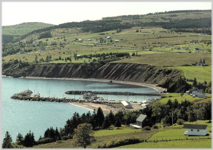
View of
Ballantyne's Wharf on Cape George
(Photograph courtesy of Conrad
Poirier)
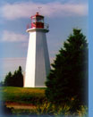
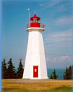
The
Cape George Lighthouse is situated at Cape George Point which
overlooks the waters of St. George’s Bay.
Directions:
Travelling from Antigonish take route 337 which hugs the shoreline
along Cape George through small fishing communities overlooking
the Northumberland Strait. This scenic drives covers a distance of
53 km(33mi.) which weaves past the lighthouse and on to Malignant
Cove.
Alternate
Routes: Take Hawthorne St. in Antigonish town connecting to route
245. Turn right at Malignant Cove and onto route 337. This route
takes the exact opposite direction to the immediate access of
highway 337. A third access to Cape George is the use of exit 27
on the trans Canada at Sutherland’s River, Pictou county. Follow
route 245 east that joins route 337 at Malignant Cove, a total
distance of 62.2 km(41.8mi.)to the lighthouse road. The road
leading off route 337 to the Light is marked Lighthouse Road.and
is 0.7m(0.4mi)long. There is parking and an interpretation board
is located near the light.
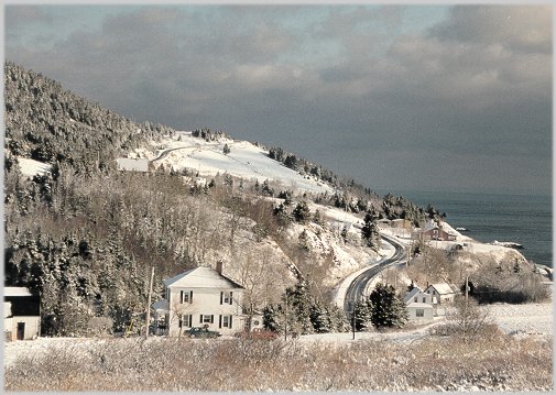
Winter view of Cape
George Mini Trail
(Photograph courtesy of Conrad
Poirier)
Sailing
Directions for Cape George and Ballantyne's Cove Wharf (Location
of Tuna Centre)
(Sailing
directions are taken from "Atlantic Coast: List of Lights,
Buoys and Fog Signals" published by Fisheries and Oceans
Canada 2001.)
|
No. |
Name |
Position
-------
Latitude N.
Longitude W. |
|
891 |
Ballantynes
Cove Wharf |
On
S. side of wharf.
45 51 29.9
61 55 09 |
|
892 |
Cape
George |
On
cape.
45 52 26.5
61 54 04 |
Click
here for further location information.
Home
/ History / Lens
/ Lighthouse / Location
/ Resources |